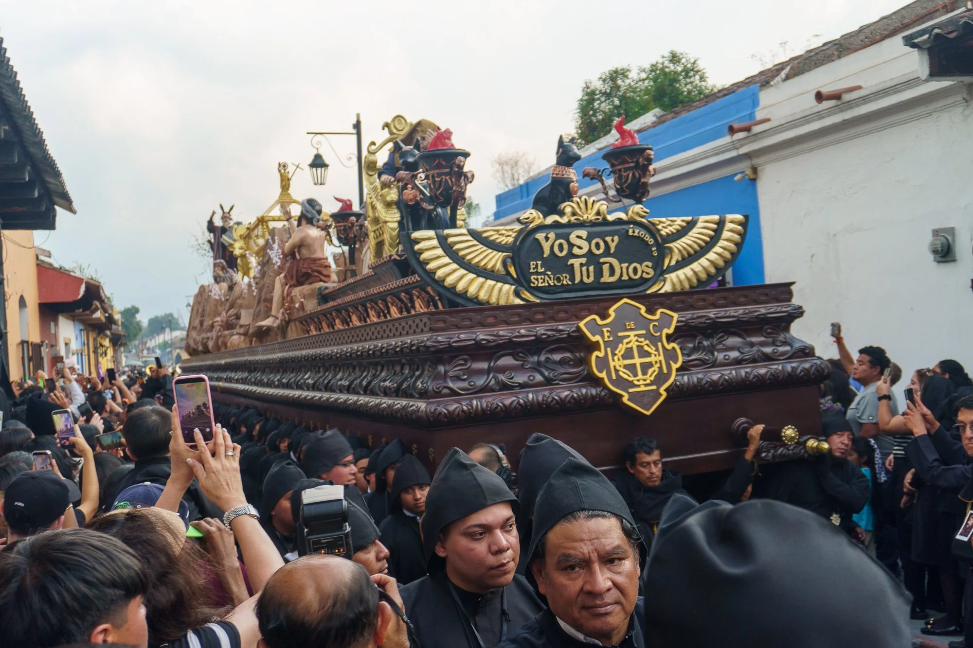
We witnessed Semana Santa in Guatemala. It was Spectacular.
Semana Santa is Guatemala’s remarkable religious tradition that depicts and remembers the week before Easter. Religious processions are attended by thousands of people wearing black or purple robes and making alfombras together in the streets of Antigua.
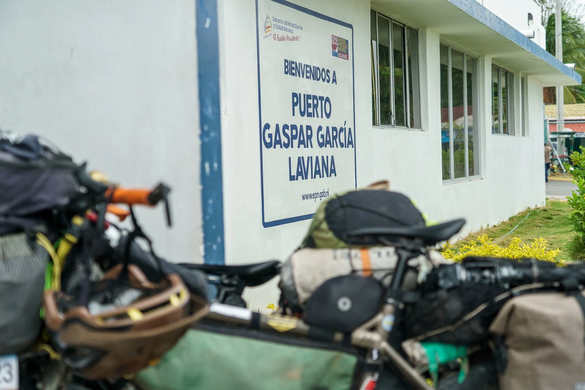
A Reflection from the Saddle in Nicaragua
I love our journey across the Americas. I am grateful that we are able to do what we do. Every day again is a new adventure. I appreciate both the good and the bad, the ugly and the beauty. But every now and then, our travels rub me the wrong way. Today is one of those days. Let me explain…

•Thoughts on Turning 30•
And just like that, there it is: My 30th birthday. I’m officially shedding my twenties and cautiously stepping into another decade of life…

Pat’Alaska, Part 4: Riding the Carretera Austral (South to North)
In March 2025, we traveled the Carretera Austral by bike. And we absolutely LOVED it!

Bikepacking Gear Guide: Our Cycling Adventure Equipment
Our comprehensive bikepacking gear list for 2025. A summary of our sleeping & cooking system, bike setup and miscellaneous objects.

Pat’Alaska, Part 3: Perito Moreno and Fitz Roy
The beautiful Mount Fitz Roy, as seen in the Patagonia logo…