Backpacking Ilse Praet 10/10/22 Backpacking Ilse Praet 10/10/22 Backpacking Food | Bushka’s Kitchen Read More Great Divide Trail, Hitchhiking, Backpacking Ilse Praet 10/1/22 Great Divide Trail, Hitchhiking, Backpacking Ilse Praet 10/1/22 The End of the GDT | Back to life, back to reality… Read More Hiking, Backpacking, BackCountry Trips Ilse Praet 7/25/22 Hiking, Backpacking, BackCountry Trips Ilse Praet 7/25/22 Hiking in Glacier’s Backcountry Read More Hiking the PCT, Backpacking Ilse Praet 4/27/22 Hiking the PCT, Backpacking Ilse Praet 4/27/22 Pacific Crest Trail: Section K: Stehekin to Stevens Pass Read More Hiking the PCT, Backpacking Ilse Praet 4/27/22 Hiking the PCT, Backpacking Ilse Praet 4/27/22 Pacific Crest Trail - Section K: Rainy Pass to Stehekin (part 1) Read More Hiking Europe, Backpacking Ilse Praet 4/26/22 Hiking Europe, Backpacking Ilse Praet 4/26/22 Hiking the Alta Via in the Dolomite Mountains Read More
Backpacking Ilse Praet 10/10/22 Backpacking Ilse Praet 10/10/22 Backpacking Food | Bushka’s Kitchen Read More
Great Divide Trail, Hitchhiking, Backpacking Ilse Praet 10/1/22 Great Divide Trail, Hitchhiking, Backpacking Ilse Praet 10/1/22 The End of the GDT | Back to life, back to reality… Read More
Hiking, Backpacking, BackCountry Trips Ilse Praet 7/25/22 Hiking, Backpacking, BackCountry Trips Ilse Praet 7/25/22 Hiking in Glacier’s Backcountry Read More
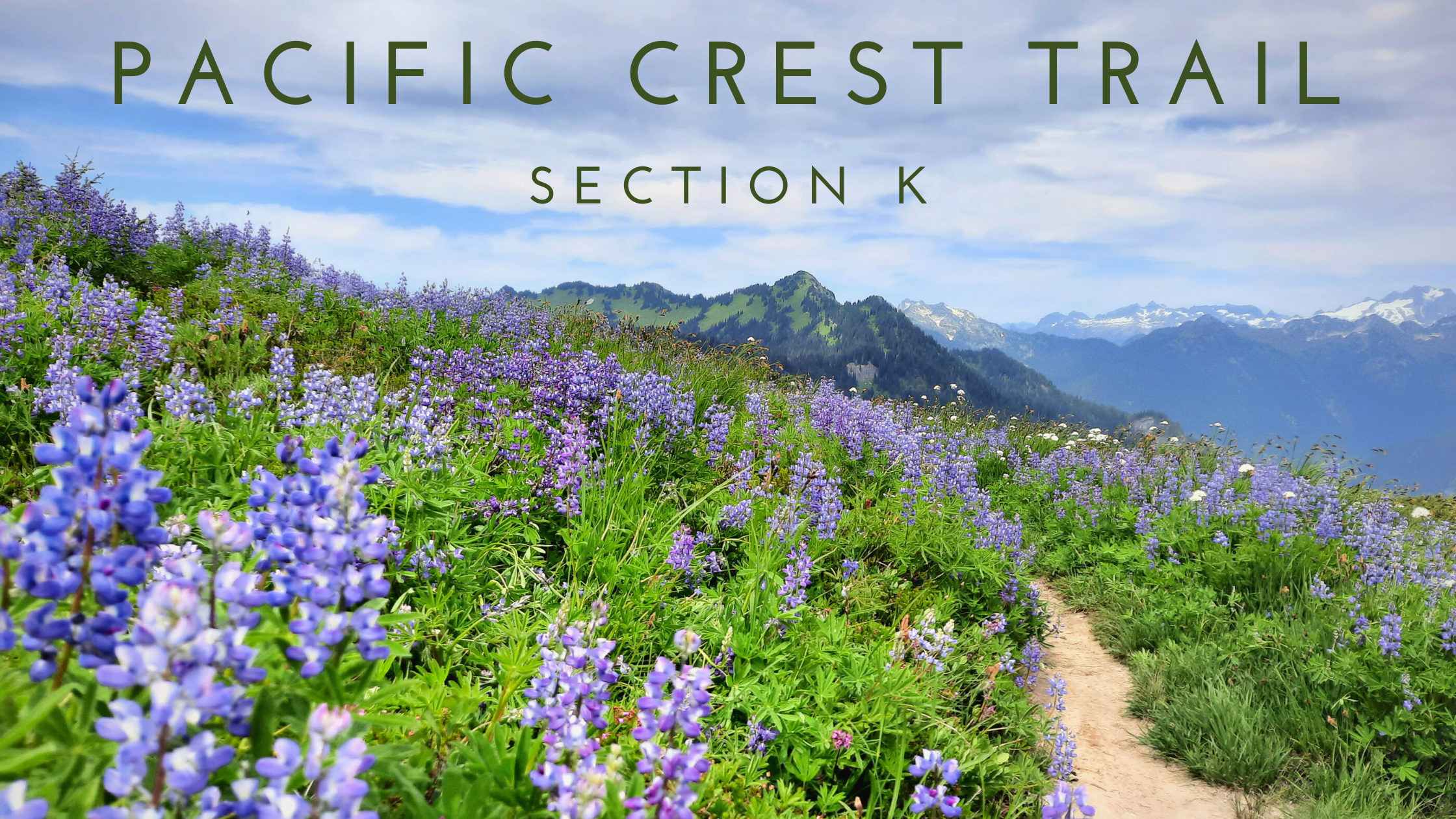
Hiking the PCT, Backpacking Ilse Praet 4/27/22 Hiking the PCT, Backpacking Ilse Praet 4/27/22 Pacific Crest Trail: Section K: Stehekin to Stevens Pass Read More
Hiking the PCT, Backpacking Ilse Praet 4/27/22 Hiking the PCT, Backpacking Ilse Praet 4/27/22 Pacific Crest Trail - Section K: Rainy Pass to Stehekin (part 1) Read More
Hiking Europe, Backpacking Ilse Praet 4/26/22 Hiking Europe, Backpacking Ilse Praet 4/26/22 Hiking the Alta Via in the Dolomite Mountains Read More